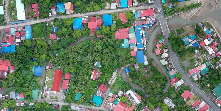
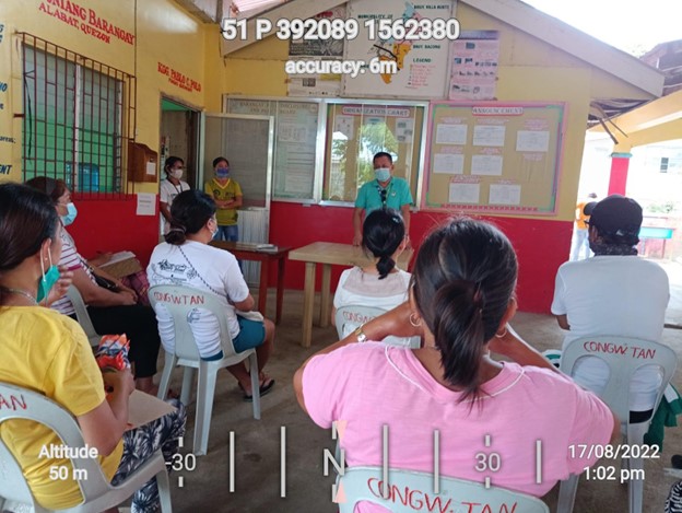
The Land Management Bureau (LMB) recently launched a new system designed to hasten the processing and issuance of titles on lands covered by the Department of Environment and Natural Resources (DENR).
The formal launch of the Land Administration and Management System (LAMS) highlighted the 115th anniversary of LMB, the agency responsible for the administration, survey, management and disposition of A&D lands and other public lands not placed under the jurisdiction of other government agencies.
LAMS is a computerized information system that consolidates land data and records in the country. The system is designed for quick and easy processing, tracking and retrieval of land information.
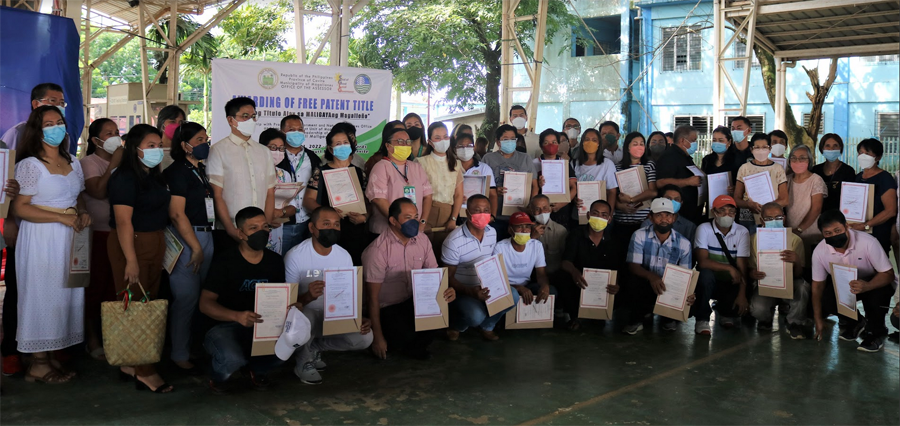
LMB Director Emelyne V. Talabis said the new system cuts the approval of land surveys, which used to take six months to one year, to five working days for simple subdivision survey with complete requirements.
It also guarantees land tenure security for every Filipinos as the speedy approval of land surveys lead to the issuance of land patents, she added.
LAMS has four components, namely: public land application (PLA); inspection, verification and approval of survey (IVAS); e-survey plan; and client-transaction monitoring (CTM).
A major innovation, CTM enables clients to keep track of the status of the survey and their application electronically --- through the LAMS kiosks located in all DENR regional offices, by text or SMS or via Internet.
Since CTM is digital, it eliminates any personal contact between LMB personnel and clients and minimizes follow-ups, thus preventing incidents of corruption.
The PLA component evaluates, processes and approves land applications. It provides efficient storage, analysis and monitoring to prevent the issuance of double titles and promote transparency in the processing stage.
The IVAS is designed to track the verification and approval process of the survey at the regional offices. It starts with digital submission of survey returns to digital land survey data (DLSD) generated from e-survey plan.
The DLSD file is uploaded at the front desk of the regional office and forwarded to the verification and projection unit to validate the mathematical, textual and spatial information.
The e-survey allows the client, through an accredited geodetic engineer, to submit the survey application online for faster verification of boundaries.
Once approved, the survey data are saved on the digital cadastral database (DCBD) of approved surveys of LAMS. The DCDB has the textual information of the lot and its scanned image. ###