Connect With Us
![]()
![]()
![]()
![]()

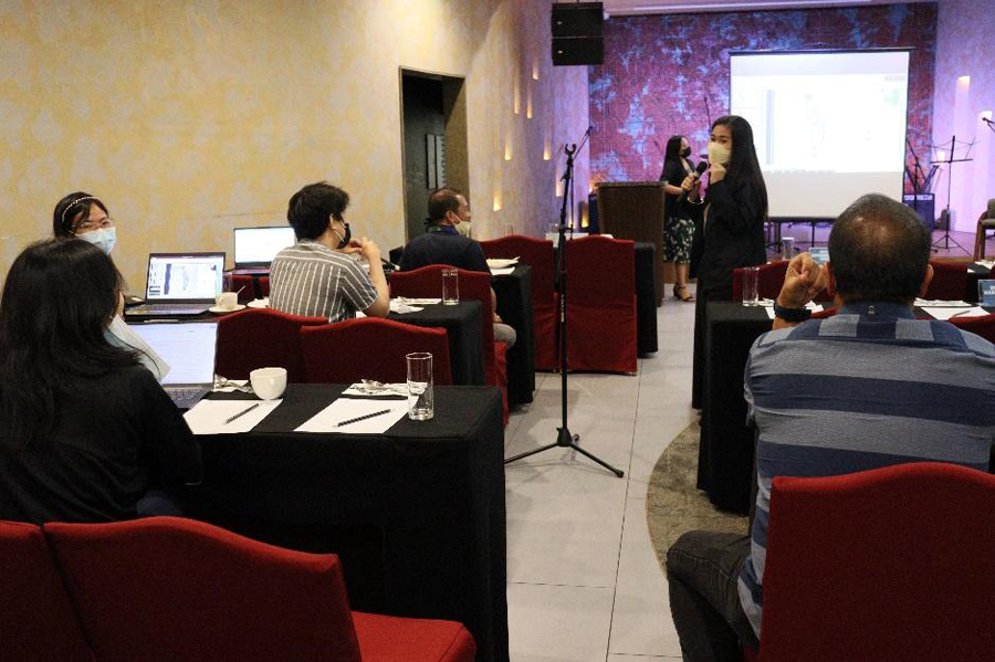
General Trias, Cavite -- The Department of Environment and Natural Resources (DENR) CALABARZON ensured climate-responsive planning as it reviewed the Watershed Characterization and Vulnerability Assessment (WCVA) for Zapote and Timalan River Watersheds and the Integrated Watershed Management Plan (IWMP) for Palico Watershed from October 20-21, 2022.
DENR Memorandum Circular No. 2008-05 defined watershed characterization as “the process of describing the biophysical and socio-economic characteristics and features of a watershed in order to have an understanding of the various processes therein”. On the other hand, vulnerability assessment is the analysis of the relationship between natural and anthropogenic hazards and the watershed, identifying the strength and weaknesses of the watershed in relation to the identified hazards.
Per training manual on WCVA using Geographic Information System and Remote Sensing, the preparation of the said assessment is the first step in the sustainable management of watershed resources. It provides watershed managers and decision-makers basis for development and conservation strategies to be implemented within the watersheds.
Both watershed characterization and vulnerability assessment are part of the initial phase of the IWMP process. Per DENR Memorandum Circular No. 2008-05, IWMP is the detailed holistic, integrated, and participatory management plan for a watershed that fully takes into account the well-being of the affected communities including indigenous peoples.
Zapote River Watershed has a total area of 5,070.62 hectares and is covered by the cities of Bacoor, Dasmarinas, Las Pinas, and Muntinlupa. Timalan River Watershed, on the other hand, has a total of 4,532.05 hectares and is within the municipalities of Naic and Tanza, Cavite and city of Trece Martires. Once its WCVAs are approved, the said watersheds will then be subject to the preparation of its respective IWMPs.
Palico Watershed, which already has a draft IWMP, is one of the major watersheds of Batangas province discharging along the Verde Island Passage Marine Corridor. Its catchment has a total area of 23,691 hectares.
Once approved by the DENR regional office, IWMPs will be subject to review and affirmation by the Watershed Multisectoral Technical Evaluation Committee in the DENR central office, per Forest Management Bureau Technical Bulletin No. 16-A issued in 2019.
“After ma-approve ang plano, ang next challenge sa atin is how to make this watershed management plan adopted by the concerned local government units… Sana maipilit nating maipasok ito sa Comprehensive Land Use Plan ng concerned local government units para ‘yung plano naman na ating pinaghihirapan ay maging realistic. Sana ‘yung specific activities na part ng plan, unti-unti, ay maipasok natin mismo sa plano ng lokal na pamahalaan,” Cavite DENR-Provincial Environment and Natural Resources Officer, Forester Januel R. Peras said.###

All content is in the public domain unless otherwise stated.
Learn more about the Philippine government, its structure, how government works and the people behind it.