Connect With Us
![]()
![]()
![]()
![]()

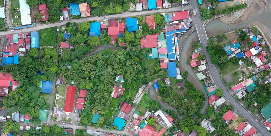
The Coastal and Marine Ecosystems Management Program (CMEMP) Team of CENRO Calauag has conducted ground truthing of river systems located within the territorial jurisdiction of Plaridel, Quezon through GPS tracking and drone survey.
Said undertaking is relevant to the creation of a map of Siain River and Ilusong Creek, comprising the major river system that drains along the municipality of Plaridel down to their receiving water body, Lamon Bay.
The ground truthed map of the aforesaid water bodies is part of the Inception Phase, the 1st phase of the Integrated Coastal Management (ICM) mainstreaming process to the Comprehensive Land Use Plan (CLUP) and Comprehensive Development Plan (CDP) of Plaridel, Quezon, which is based on the BMB Technical Bulletin No. 2002-02.
ICM is the government’s program to ensure coastal and marine management involving different stakeholders in the protection and management of coastal and marine resources and ecosystem, with consideration to the ecological connectivity to social and environmental systems using the ridge-to-reef approach.

All content is in the public domain unless otherwise stated.
Learn more about the Philippine government, its structure, how government works and the people behind it.