The Land Administration and Management System or more known as LAMS, created by the Land Management Bureau, addresses the difficulty in handling large numbers of land records kept by the DENR. Its main objective is to make land records more accessible so that high-quality land administration services can be provided.
Digital Cadastral Database (DCDB) as one of the LAMS’ special features, provides the basic and authoritative layers of cadastre information with all parcels and political boundary information covering a municipality, city, or any political unit.
In cleansing, the survey projection is corrected (from local to PRS'92 transformation); erroneous survey identification and correction is carried out; gaps and overlaps are identified and corrected; lot status is determined by linking with PLA status, which also identifies potential fraud or double title; and scanned records are linked to the Cadastral database to prevent and identify phony or questionable records.
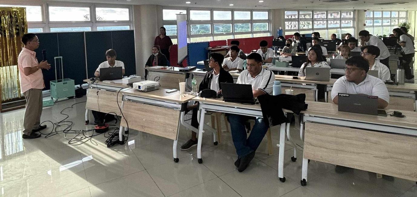
Relatively, as preparation for the implementation of massive cleansing of DCDB-LAMS Philippines, DENR CALABARZON through its Surveys and Mapping Division headed by its Chief, Engr. Edgar S. Barraca, conducted an orientation last January 15, 2024 for the newly-hired employees (under Contract of Service) of the Digital Cadastral Database Unit under the Original and Other Surveys Section (OOSS) of the said division.
The said orientation was attended by DENR CALABARZON's Key Officials, particularly, the Regional Executive Director - Nilo B. Tamoria, CESO III; Asst. Regional Director for Technical Services - For. Eriberto C. Saños, CESE; and Asst. Regional Director for Management Services - For. Ronita A. Unlayao.
Meanwhile, Chief Administrative Division, Ms. Anita T. Rocero, discussed the Office Policies and Regulations while the actual process of DCDB Cleansing was presented by Mr. Glenn S. Perez, the Head of DCDB Unit/LAMS System Coordinator.
Orientation was conducted at the 5th Floor Conference Hall of the DENR CALABARZON.###
- Details
- Parent Category: News & Events
- Category: Press Releases
- Published: 07 February 2024