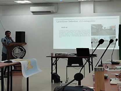
The Department of Environment and Natural Resources (DENR)-Batangas attended the meeting for the output presentation following the completion of the field validation for the implementation of the “Land Cover Mapping Project”, which aims to classify the land cover based on the 12 categories set by the National Mapping and Resource Information Authority (NAMRIA).
The said activity was spearheaded by the NAMRIA and was attended by Technical staff from DENR Batangas particularly the GIS experts, and Batangas Provincial Disaster Risk Reduction and Management Office (PDRRMO) – Batangas, and PG-ENRO Batangas employees.
- Details
- Parent Category: News & Events
- Category: Photo Releases
- Published: 31 December 2023