Connect With Us
![]()
![]()
![]()
![]()

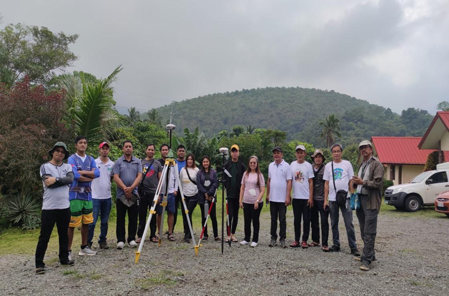
Field personnel of PENRO and CENROs in Quezon Province underwent a 2-day training and workshop on Global Navigation Satellite System - Real Time Kinematic (GNSS-RTK) equipment operation.
The said training was facilitated by the project contractor from the Technical Support Team of MJAS ZENITH. The latter aims to equip field personnel in the GNSS-RTK equipment; a part of the package in the procurement of RTK, the target stipulated under the approved Work and Financial Plan (WFP) CY 2022 of PENRO Quezon.
The training involves a lecture discussion and actual demonstration on the proper handling and setting of RTK. Other necessary reminders prior to data gathering were explicitly discussed to the participants during the workshop. After the demonstration of assembling the base and the rover of the RTK, the Survey Master Application was used on the ground by the participants. This was done to gather point locations of selected areas i.e., open area, dense canopy, and areas adjacent to electric posts.
Meanwhile, as part of the training output, the corner points of Mts. Banahaw San Cristobal Protected Landscape (MBSCPL), a legislated protected area under jurisdiction of CENRO Tayabas, was uploaded to the system of RTK. Three (3) corners adjacent to Brgy. Kinabuhayan, Dolores, Quezon was located using the RTK.
The RTK is a great aid in the land surveying activities in Quezon Province. It is a highly accurate technique used to determine the position of a receiver using the signal received from satellite-based positioning systems like GPS. The RTK technique is useful for carrying outland surveys, hydrographic surveys, and for other applications that require very accurate positioning information. The equipment is particularly suited for measuring the relative position of several moving and stationary objects, which is useful in the test and verification of Advanced Driver Assistance Systems (ADAS).

All content is in the public domain unless otherwise stated.
Learn more about the Philippine government, its structure, how government works and the people behind it.