Connect With Us
![]()
![]()
![]()
![]()

The Taal Volcano Protected Landscape (TVPL) was proclaimed as a protected area by virtue of Presidential Proclamation No. 923 dated November 19, 1996, by Pres. Fidel V. Ramos for the purpose of harmonious and perpetual existence of living as well as non-living elements of the ecosystem. It encompasses thirteen municipalities and two cities in the Province of Batangas and Tagaytay City, Cavite comprising the entire watershed that drains towards the lake. As such it was included as an initial component of the National Integrated Protected Area System (NIPAS) under RA 7586 and its Implementing Rules and Regulations (DAO 2008-06) and became a legislated protected area with the enactment of the ENIPAS Act of 2018. Under the said policies, the Protected Area Management Board (PAMB) shall be created to take charge of the specific management of its Protected Area. Section 23 of the RA 11038 or ENIPAS, Act of 2018. Section 23, Tenure Migrants and Other Protected Area Occupants, the PAMB shall identify, verify and review all tenurial instruments, land claims, issuances of permits for resource use within the protected area and recommend the issuance of the appropriate tenure instrument consistent with the zoning provided in the management plan and the provision of the said Act.
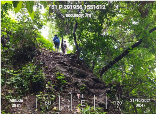
The conduct of Survey and Registration of Protected Area Occupants (SRPAO) shall be undertaken for management planning and issuance of tenurial instruments to qualified occupants. Tenured migrants are protected area occupants who have been actually, continuously, and presently occupying a portion of the protected area for five (5) years before the proclamation or law establishing the same as a protected area, and are solely dependent therein for subsistence.
The objective of this project is to establish the official list and number of male and female household’s heads of the family recognized as tenured migrants; determine the location, boundaries, and extent of the area occupied, as well as the resources used by the protected area occupants and their period of occupancy.
As of November 26, 2021, a total of 25 barangays of the initial 33 barangays have been surveyed covering 1,444 home lots and 216 farm lots. Plotting of maps from NAMRIA to Barangay maps from respective cities and municipalities of Balete, Talisay, Laurel, and Tagaytay disclosed that there are 52 barangays within the forest lands and unclassified public forests. There are also 3 barangays that are not viable for the survey since they are located in Taal Volcano Island which is considered a No Human Settlement Zone via PAMB Resolution No. 65 S. 2020, as amended. There are still 25 barangays that are targeted for the SRPAO survey. ###

All content is in the public domain unless otherwise stated.
Learn more about the Philippine government, its structure, how government works and the people behind it.